Contact: Leah Barbour

Photo by: Megan Bean
STARKVILLE, Miss. -- Many middle schoolers are starting to think about how they might take today's technologies to the next level when they grow up.
Mississippi State University officials, like many other postsecondary leaders across the nation, want to harness that excitement among adolescents and offer them a vision of what their future in the technology-driven society might be.
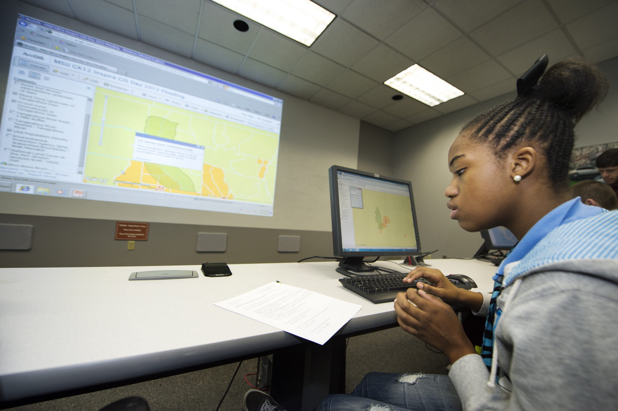
The university recently hosted about 70 Columbus Middle School students to give them an in-depth vision of one technology job in demand worldwide.
MSU's Department of Geosciences and the Geosystems Research Institute celebrated Geographic Information Systems Day by allowing graduate research fellows in the university's INSPIRE program -- Initiating New Science Partnerships in Rural Education funded by the National Science Foundation -- to teach seventh- and eighth-graders about GIS.
"At this age they soak up ideas like sponges. GIS is interactive, and students are accustomed to being able to manipulate things with computers and games, so GIS is just another tool for them to be able to use, manipulate and control the data," said Sarah Radencic, INSPIRE project coordinator.
GIS technologies feature a mapping retrieval system for analysis, which can focus on a seemingly limitless number of scenarios, said Bill Cooke, associate professor and interim head of geosciences.
"GIS is only limited by your imagination," Cooke told the students. "If you want a career where you're trying to solve real-world problems, and you want to be working on problems that can help the world and your fellow human beings, I'll say GIS is a fantastic opportunity for you. It also pays pretty well."
GIS allows users to identify the best emergency-escape routes or the best incoming routes for emergency responders, project severe weather storm tracks or probable impacts, or use cellphones to map the way home or find a restaurant, Cooke said.
From tracking soil moisture to predicting crop yields, GIS is an important tool for farmers, he said. GIS also gives law enforcement authorities the capability of better protecting people and places, because they can map the strengths and weaknesses of a given building or travelling course.
Middle school students divided into three groups to explore storm tracking, flooding and escape routes, all lesson plans based on Hurricane Sandy's impact on the Northeast. INSPIRE students designed the plans to connect with and inspire the middle school students, Radencic said.
"It's giving our graduate students a chance to work on their communication skills -- the main goal of our project with geosciences, physics, engineering, and chemistry majors in the INSPIRE project is to work on graduate students' communication skills with the general public. If you can teach it to middle schoolers or even high schoolers, then you can communicate with the public about your research," Radencic said.
Overall, not only did the MSU graduate students involved with INSPIRE learn about communicating with their audience, the middle schoolers learned about GIS and how pursuing that career really holds almost limitless opportunity, she said.
"When the graduate students have to take their research and work it into the state standards the middle schoolers have to learn anyway, it brings that real-world application home to all of them," Radencic said. "It lets the graduate students see how their fieldwork and what they do with computers applies, and the kids see how it links back to what they're learning in the schools."
Mississippi State graduate students who helped organize GIS Day included, by hometown:
BATON ROUGE, La. -- Erin L. Anderson, daughter of Keith and Cheryl Anderson, pursuing her master's in geosciences;
BROOKHAVEN -- Charles Vaughan, son of Howard and Patsy Vaughan, pursuing his doctoral degree in applied physics;
DUKETOWN, Tenn. -- Justin M. Warren, son of Thomas Warren and Rebecca Pepper of Ridgeland, pursuing his doctoral degree in aerospace engineering;
MADISONVILLE, La. -- Sean A. Owens, son of John and Sherryl Owens, pursuing his master's in computer engineering;
MONTPELIER, Ind. -- Adam D. Lenz, son of Richard and Joni Lenz, pursuing his master's in geosciences;
POPLARVILLE -- Corey T. Ladner, son of Timothy and Grace Ladner, pursuing his master's in geosciences;
TROY, Ill. -- Kendra L. Wright, daughter of Dale and Cathy Wright, pursuing her doctoral degree in geosciences;
WIGGINS -- Calista Guthrie, daughter of John and Sonja Guthrie, pursuing her master's in geosciences.
To learn more about GIS at MSU, go to http://gk12.msstate.edu/gisday2012.html or contact Radencic at 662-268-1032, ext. 229, or spr67@msstate.edu.